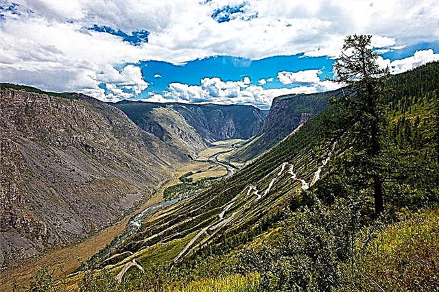
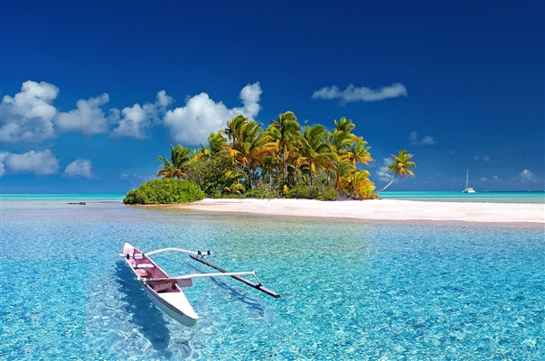
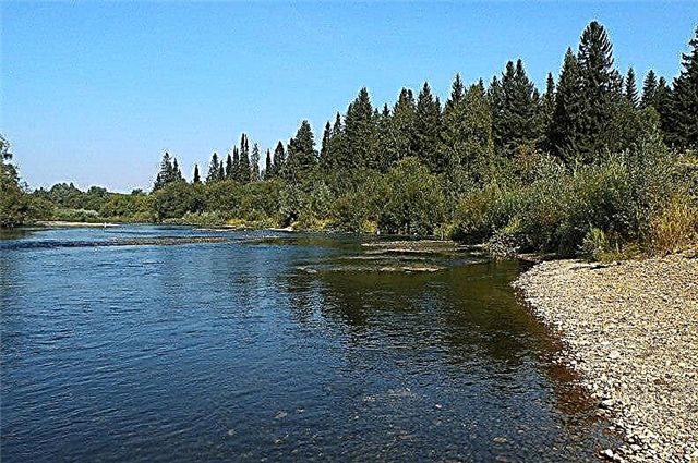
The rivers of the Sverdlovsk region have not yet become a "Mecca" for tourists. The laid routes of varying difficulty and length attract travelers from all over the country. With the approaches to convenient places on the coast, everything is not so rosy. Infrastructure is lagging behind potential.
Tavda is considered one of the most fishy ones. To relax comfortably on the banks of the Lozva, you will have to buy a ticket: there are many restrictions and prohibitions for “savage” tourists in the area. Pyshma and Rezh are famous for their natural attractions. On their shores, ecological and national parks are organized, as well as museums that tell about the waterways of the region and not only.
The longest rivers of the Sverdlovsk region
List of the largest waterways in the region.
Tour
The left tributary of the Tobol also flows in the Tyumen region. The river bed runs along the Turin Plain. Spring high water is high, the peak of low water falls in late summer and early autumn, floods are insignificant. In the lower reaches, fish are caught for industrial purposes with nets. Gold is mined in the upper reaches, and the channel itself is turned into a cascade of ponds. Rafting routes have a length of 3 to 68 kilometers.
The length of the river is 1030 km, in the Sverdlovsk region - 770 km.

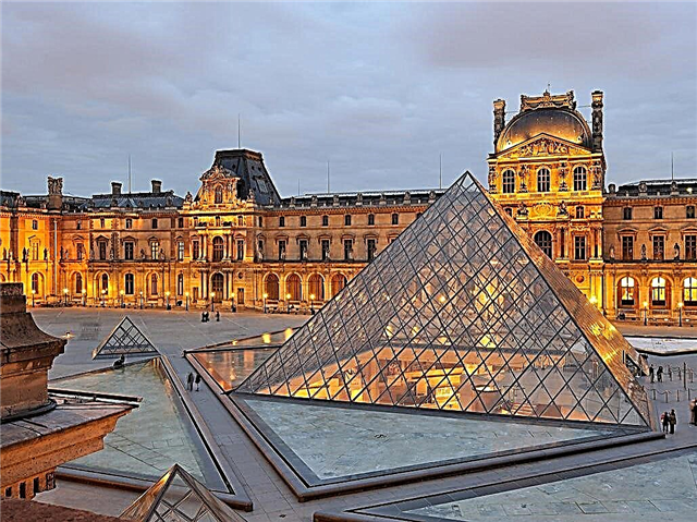
Read about the best places in the region: the main attractions of the Sverdlovsk region.
Ufa
The river of 3 regions of the country: Bashkortostan, Chelyabinsk and Sverdlovsk regions. The name is translated from the Bashkir language as "black river". Every year the number of people wishing to raft across Ufa is increasing. The routes have the lowest difficulty category. At the same time, the shores are picturesque, there are good places to set up a camp. The reservoir is partially navigable.
The length of the river is 918 km, in the Sverdlovsk region - 310 km.

Tavda
The West Siberian river belongs to the territory of the Sverdlovsk and Tyumen regions. The level change in the river during the year fluctuates within 6 meters. The town of the same name is located on the coast. The reservoir is rich in fish, there is industrial fishing. A recreation center has been built in Lint. There you can rent housing, park your car, rent a boat and even tackle.
The total length of the river is 719 km.

Pelym
The translation of the name is "icy river". A fish reservoir, and every species found here bites well at certain times. In the upper reaches, the channel winds, and on the banks there are more and more swampy areas. There is a particularly strong current in the section up to Lake Pelymskiy Tuman, after which the river sharply slows down. There is boat rental and rental cabins in Lintach.
The length of the river is 707 km.

Lozva
It flows out of Lake Lunthusaptur and flows into Tavda. Navigable on 328 kilometers of current. Lozva has characteristics typical of a mountain river, such as rifts, lakes and holes. Large species diversity of fish fauna, but restrictions for fishermen are set. For example, whitefish and sturgeon are generally prohibited from fishing. You can buy a permit for fishing and recreation on the coast.
The length is 637 km.

Sosva
It is part of the Tobol basin. Navigable for 333 km from the mouth. The Denezhkin Kamen reserve is organized in the upper reaches. The river bed is used both for tourist rafting and for economic needs - for timber rafting. The once rich fishing grounds have been practically destroyed by poachers. Although some areas, such as pits near the village of Romanovo or oxbows, still attract fishermen.
The length of the river is 635 km.

Iset
The river of the Sverdlovsk, Kurgan and Tyumen regions. The Iset flows out of the lake of the same name, located 25 km from Yekaterinburg, and flows into the Tobol. The river flows through ponds and reservoirs, changing greatly along the way. The reservoir is one of the most polluted in recent years. In the spring and in the shade, fish migrate. A number of species, including tench and burbot, come here to spawn.
The length of the river is 606 km, in the Sverdlovsk region - 200 km.

Pyshma
Previously it was named Pyzhma and Pizhma. In questions of the origin of the name of the reservoir, there is no end to disputes. The translation options are "quiet" or "holy". The source is Lake Klyuchi, flows into the Tura. Rocks are the main attractions of the coast. One of them - Diviy Kamen - is a natural monument of regional significance. The Pripyshminskie Bory National Park was founded in the river valley. There is a small waterfall near the village of Shata. It flows in the Sverdlovsk and Tyumen regions.
The total length of the river is 603 km.

Chusovaya
It flows in the Perm Territory, Chelyabinsk and Sverdlovsk regions. The river originates on the eastern slopes of the Ural ridge, then crosses it and finds itself on the western slopes. The coast is famous for its rocks and stone fighters. There are nameplates near them. The largest cave in the valley is called the Miracle. A museum dedicated to the river has been opened near the town of Chusovoy.
The length of the river is 592 km, in the Sverdlovsk region - 377 km.

Sylva
In addition to the Sverdlovsk Region, it also flows in the Perm Territory. Of these, 74 km are accessible for ships, starting from the estuary. It originates on the western slopes of the Middle Urals and flows into the Kama reservoir. On the left bank there is the "Molebsk anomalous zone". During the expedition in 1983, Elniki II, a Lower Paleolithic location, was discovered in the lower reaches. It is more than 250 thousand years old.
The total length of the river is 493 km.

Tagil
The source of the river is Mount Pass. It is a tributary of Tura. The upper reaches are characterized by the presence of rapids, while the lower reaches are characterized by a winding channel. The bottom is muddy, which attracts some species of fish. The bite is heterogeneous throughout Tagil. When rafting, you need to take into account the treachery of the route: some rapids are poorly visible from the water. There are special pitches on the coast for setting up tents.
The length of the river is 414 km.

Neiva
Tura tributary entering the Oka basin. The source is located near Lake Tavatui. A characteristic feature of the river is a large number of reservoirs. They were created as factory ponds. Between Alapaevsk and the village of Neivo-Shaitansky, there is a site that is heavily overgrown in summer with aquatic and semi-aquatic plants. Nature lovers will love the rocky cliffs of the middle reaches of the Neiva.
The length of the river is 294 km.

Kosva
The left tributary of the Kama also flows through the territory of the Perm Territory. Only the upper reaches belong to the Sverdlovsk region. The mouth is the Kama reservoir. Passing through the mountains of the Middle Urals, Kosva becomes typically mountainous. Summer is not suitable for rafting, as the reservoir becomes shallow. Rides, rocky shoals and rapids make traveling along the river exciting and challenging.
The total length of the river is 283 km.

Nice
Formed at the confluence of Regis and Neiva. The river is famous for its fishing spots. The site near the village of Krasnoblodskoye is considered especially successful: the largest specimens are found here. Burbot comes to Nice for spawning. The river flows through the West Siberian Plain. It is characterized by the presence of rare rifts and slow stretches. There are also deep pits under the ravines.
The length of the river is 262 km.

Lyalya
Right tributary of the Sosva. The channel of the lower and middle currents is replete with bends, oxbows and swampy areas of the coast. There are several routes for rafting, the shortest is 30 km. Care must be taken when passing destroyed dams near the village of Staraya Lyalya. In terms of choosing boats for hiking, it is better to give preference to watercraft without a motor.
The length of the river is 258 km.

Lobva
Left tributary of the Lyalya. The source of the mountain-taiga river is located 13 km from the village of Kytlym. The channel is most meandering in the lower and middle reaches. 4 permanent rafting routes have been developed. Their length ranges from 3 to 12 km. Fishing is unremarkable: mainly perches, pike and small grayling are caught. On the other hand, there are many mushroom spots in the area, as well as convenient sites for setting up tents.
The length of the river is 222 km.

Dir
Refers to the Oka basin.The runoff is regulated by a reservoir near the city of the same name and Lake Ayat. The main feature of the river is its rocks. Legends about them and a map showing all the most interesting objects, the number of which has exceeded 60, became the book "Rzhev Treasures". An ecopark was created in the middle course. More than 10 museums have been opened in the settlements located on the banks of the Rezh.
The length of the river is 219 km.

Beads
The right tributary of the Ufa belongs to the Kama basin. Rafting takes place in big water. There are exceptions, only in this case the route will have to be cut. The upper reaches are hilly shores covered with forest, the lower and middle - the plain, where the forest already alternates with sandbanks. A pond of the same name was formed on Biserti. The best bite is around his dam. And in the upper reaches in the spring you can catch grayling.
The length of the river is 193 km.

Salda
The right tributary of the Tura is sometimes confused with the river of the same name - a tributary of the Tagil. The entire length is not navigable. But for inflatable fishing boats there is plenty of space. In the lower reaches, dams were built for the needs of enterprises. Not far from the mouth there is a road bridge crossing the Salda. The rest of the infrastructure is not developed, since the valley of the reservoir is poorly populated. The area is swampy, and there is very little forest.
The length of the river is 182 km.

Kakva
The translation of the name is "pure water". The town of Serov is 15 km from the mouth. The Kiselevskoe reservoir and a small hydroelectric power station were built on the river. They were hit hard in 1993 by floods. Karst caves, recognized as natural monuments, are found on the left bank of the Kakva near the village of Veselovka. On the right bank there is a botanical monument - Shikhan rock not far from the camp site of the same name.
The length of the river is 170 km.

Silver
In the past it was called Serebryanka. However, the river was not so marked on the maps. There is a version that Yermak christened Silver with this name during his trip to Siberia. The main attractions near the channel are the mountains: Kamennaya, Kokuy, Kedrovka. Rafting routes start right at the mouth. In the first 20 km, the "track" is especially interesting in terms of obstacles.
The length of the river is 147 km.

Karabashka
The name is rooted in the Tatar language and means "black peak". The dark brown color of Karabashki water corresponds to it. The estuary is located 13 km from the town of Tavda. Fish come here for spawning, therefore in some periods the world of ichthyofauna is diverse, and the number of representatives of certain species is off scale. The maximum depth in the whirlpools is about 6 meters. The channel is crossed by 3 large highways.
The length of the river is 146 km.

Wagran
The river originates in the Ural Mountains. In the 60s of the last century in Severouralsk, the Vagran channel was “dressed” in concrete, and in parallel to it, a backup canal with locks was built. This sophisticated solution helped to keep water out of the bauxite mines operating within the city. Wild coastal areas are swampy, forested or abound in limestone caves.
The length is 137 km.

Turya
The right tributary of the Sosva originates and ends within the region. The reservoir is used by industrial and agricultural enterprises, so there are problems with pollution. At the same time, fishermen do not complain about biting: taimen and grayling even enter the mouth. The Turya valley is partly swampy. The channel is rocky, there are few algae, the depth on the stretches is no more than 2 meters.
The length of the river is 128 km.

Boundary Duck
The Chusovaya tributary flows not only in the Sverdlovsk region, but also in the Urals. The name of the river comes from two words: "border" - border and "duck" - translated from Mansi - water. The reservoir divided the possessions of the Demidovs and the Stroganovs. Partially the bed of the Mezhevaya Utka belongs to a natural park. The river is used for rafting; one of the popular routes starts near the village of Visim.
The length of the river is 121 km.